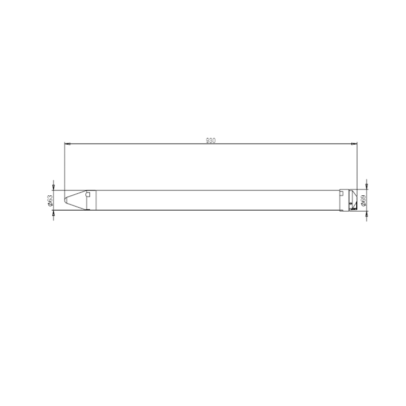
The YGC-GTM tubular multi-layer soil moisture monitor uses the frequency domain reflection method (defined in GB/T28418-2012) to measure the soil moisture in each soil layer based on the frequency changes of the electromagnetic waves emitted by the monitor in materials with different dielectric coefficients. Use high-precision digital temperature sensors to measure the temperature of each soil layer. It can measure the temperature and humidity of 10cm, 20cm, 30cm and 40cm soil layers at the same time, and can also customize other different soil layers according to needs. It is suitable for long-term uninterrupted monitoring of representative soils; it can provide RS485 signal output and can also have built-in 4G wireless The communication module and lithium battery transmit data to the IoT data platform through the GPRS wireless network, and the data can be viewed in real time using computers and mobile phones. It is convenient and fast, and greatly meets the needs of all aspects of use.
The tubular multi-layer soil moisture monitor has many advantages such as being lightweight, easy to install, easy to use, and accurate in measurement. The instrument uses precision sensors and smart chips, and consists of a soil moisture sensor, a soil temperature sensor, a solar power supply and a transmission device.
At present, the products are widely used in environmental information monitoring and collection in agriculture, forestry, environmental protection, water conservancy, meteorology and other industry sectors. They are also used in water-saving irrigation, flower gardening, grassland and pasture, rapid soil testing, plant cultivation, greenhouse control, etc. Precision agriculture and other fields to meet the needs of scientific research, production, teaching and other related work.
Monitor elements | Measurement elements | Measuring range | Accuracy | Resolution | Unit |
Soil temperature | -40℃~80℃ | ±0.5℃ | 0.1 | ℃ |
The soil is wet | 0%~60% | ±3%(0-35%Measuring range) | 0.1 | % |
(Volumetric moisture content) | ±5%(35%-60%Measuring range) |
Inclination | -90°~90° | ±2° | 0.1 | Degree |
Longitude | -180~180 | ≤10米 | 0.1 seconds | Degree |
Latitude | -90~90 | ≤10米 | 0.1 seconds | Degree |
Altitude | -3276.7~3276.7 | ≤3米 | 0.1 | Meter |
Supply voltage | 0~30000mV | 20 mV | 1 | mV |
Battery voltage | 0~25000mV | 20 mV | 1 | mV |
Power supply method | □ 9-30VWide voltage power supply |
□ Powered by solar system (default 10W solar panel, 4800mAh lithium battery) |
Soil measurement level selection | □ 3rd floor □ 4rd floor □ 5rd floor □ 6rd floor |
Other levels can be customized, each layer is 10CM. |
Communication options | □RS485 □ GPRS |
Cloud platform | The company provides a general data cloud platform |
Data upload interval | Default is 10 minutes (can be set from 0 to 18h) |
working environment | Temperature -40℃~80℃; Humidity ≤100%RH |
Shell material | PVC plastic pipe |
Protection level | IP68 |
Power consumption | The current after sleep is less than 2mA (the average power consumption varies depending on the specific model) |
